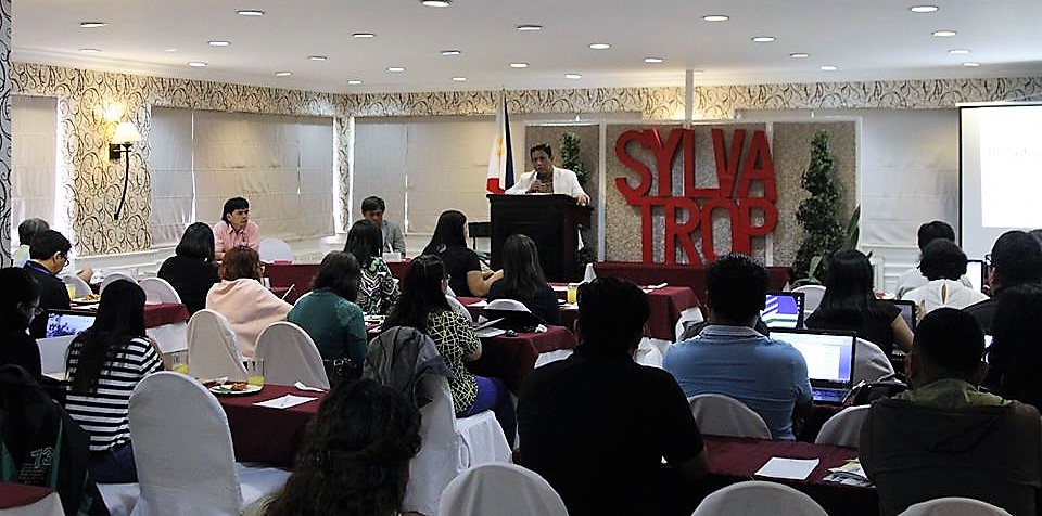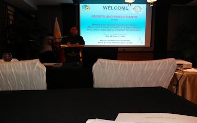
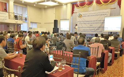
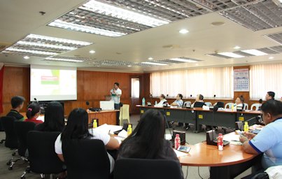
The Mines and Geosciences Bureau conducted the Orientation-Workshop on New MGB Policies and 2018 Mid-Year Management Conference on July 31 to August 3, 2018 at the Hotel Rembrandt in Quezon City. The activity was participated by technical personnel from the Mine Management Division (MMD) and the Mine Safety, Environment and Social Development Division (MSESDD) of the Regional Offices. The activity aimed to ensure the efficient monitoring of tenements, safety and health, environmental management and social development (T-SHES) compliance requirements using the revised monitoring checklist as well as accomplishing the scorecard to determine the level of compliance of mining companies. Similarly, it aimed to orient the MGB technical personnel on the procedure for apprehension and other activities related to DENR efforts to curb illegal mining operations in the country. The MGB Director, Atty. Wilfredo G. Moncano, delivered the welcome address during the opening ceremony. He imparted that DENR is collaborating with continue reading : MGB conducts Orientation-Workshop on New MGB Policies and 2018 Mid-Year Management Conference
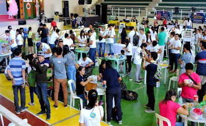
The Mines and Geosciences Bureau Regional Office No. XIII conducted its Information, Education and Communication (IEC) Campaign on the Results of Vulnerability and Risk Assessment (VRA) Project and Training-Workshop on Understanding Risk Exposure Maps on June 28-29, 2018 in Butuan City and Buenavista, Province of Agusan del Norte. Below are the pre-identified groupings of participants for discussions during the workshop. The Mines and Geosciences Bureau Regional Office No. XIII conducted its Information, Education and Communication (IEC) Campaign on the Results of Vulnerability and Risk Assessment (VRA) Project and Training-Workshop on Understanding Risk Exposure Maps on June 28-29, 2018 in Butuan City and Buenavista, Province of Agusan del Norte. Below are the pre-identified groupings of participants for discussions during the workshop. SOCIAL EMERGENCY AND RESPONSE INFRASTRUCTURE Local DRRM Local DRRM Local DRRM Local PDO Local PDO Local PDO SWDO PNP City/Municipal Engineer Health Officer BFP DepEd Local Council Member City/Municipal LGOO continue reading : MGB RXIII conducts IEC Campaign on Results of Vulnerability and Risk Assessment Project and Training-Workshop on Understanding Risk Exposure Maps