
The Mines and Geosciences Bureau Regional Office No. XIII, in coordination with Caraga Mine Environmental Management Council (CMEMC) through Caraga State University-College of Engineering and Information Technology (CSU-CEIT) professors, conducted a five-day Training on the Principles and Applications of Remote Sensing and Geographical Information System (GIS) on March 12-16, 2018 at Hotel Oazis, Butuan City. This was participated by staff from Mine Environmental Protection and Enhancement Office (MEPEO) and Engineering Office of all Caraga mining companies and selected MGB RXIII technical staff.
The training objectives were to realistically come up with National Greening Program and Mining Forest Program spatial data, based on the 2012 National Greening Program standard requirement, that will eventually be reflected in the mobile application Environmentor and to generate a spatial data not just on rehabilitated areas but also disturbed areas in compliance with the Sustainable Integrated Area Development (SIAD) requirements.
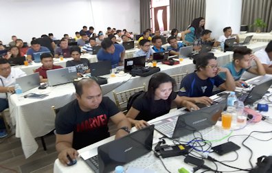
The training started with the installations of demo version and open-source GIS softwares on the participants’ respective laptops that will be used for the training program. Familiarization of these GIS softwares is very necessary for the participants to better understand the operational functionality of the tools, algorithms, interfacing and other commands within the said GIS softwares.
 During the training period, the learning providers from CSU-CEIT introduced free download satellite images from the United States Geological Survey (USGS) website for the learners to have the latest satellite imagery compared to the satellite imagery of Google Earth, especially on mine site areas with late google earth timeline. The downloaded rasterized satellite images were subjected to GIS software spatial data processing that will serve as vectorized image along with other sample data sets. These will be useful enough for spatial data publishing and analyzing.
Aside from GIS softwares, the participants were also taught how to use a global positioning system (GPS) receiver for marking and tracking. This will be interfaced with the aforementioned GIS softwares for actual geo-referencing of earthly features. Having done this, the participants were recommended to use a GPS receiver with built-in camera instead of those solely used for geotagging purposes only.
The training ended with the presentation of spatial data outputs per mining company followed by an open discussion on the details of how and when to comply with the spatial data requirements particularly the date of submission of spatial data, the schedule of validation with respect to submitted spatial data, the standardization of attributes “meta data” of spatial data and the incoming drone training for spatial data extraction and analysis.