
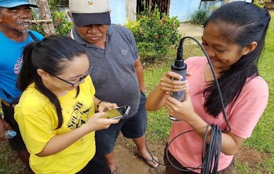
The Mines and Geosciences Bureau Regional Office No. XIII carried out the Groundwater Resource Mapping and Assessment in the Municipalities of General Luna and San Benito, Siargao Islands, Province of Surigao del Norte on April 18 to May 5, 2018.
The said assessment was conducted by a team of geologists, cartographer and on-the-job trainees from Negros Oriental State University.
 The activity aims to establish the geology of the area and determine the general groundwater resource potential of the different lithologic units. It also aims to assess the vulnerability factors that could affect the water quality of the existing water supply sources in the study area and to identify possible areas for development and future extraction.
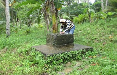 As for the mapping aspect of the activity, it was composed of an inventory of the existing groundwater resources (e.g. springs and wells) of each barangay within the municipality; identification of the lithologic unit and the overall geomorphologic characteristic of the groundwater locale; and in situ determination of the basic water chemistry of the groundwater.
For 2018, the MGB RXIII targets for the Groundwater Resource Mapping and Assessment are the Provinces of Surigao del Norte and Agusan del Sur.