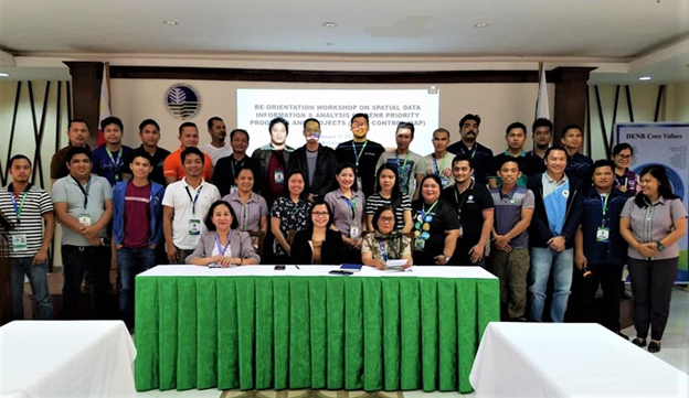
The Mines and Geosciences Bureau Regional Office No. XIII participated in the Reorientation Workshop on Spatial Data Information and Analysis on the Department of Environment and Natural Resources Priority Programs and Projects on January 9, 2020 at DENR Learning Center in Ambago, Butuan City.
The reorientation workshop was conducted by the Planning Management Division of the DENR Regional Office No. XIII. Geographic Information System (GIS) Focal Persons of DENR Regional Office No. XIII, MGB Regional Office No. XIII, Environmental Management Bureau Regional Office No. XIII and Provincial Environment and Natural Resources Offices and City Environment and Natural Resources Offices of Caraga Region took part in the workshop.
The aforesaid activity was conducted in order to generate a spatial data information and analysis based on strategic location and area covered in a map with their CY 2019 priority programs and projects target. Further, there was a discussion on GIS Focal Regional GIS Organizational Structure obligations and responsibilities.
The GIS Focal Person of MGB Regional Office No. XIII was tasked to generate a location and area covered maps of the following based on LGUs assessed with respect to geohazards, groundwater resource, and responsible mining:
- Inventory of people small-scale mining, Minahang Bayan, and sand and gravel;
- Proposed Minahang Bayan;
- Geological assessment for risk reduction and resiliency program;
- Updating of 1:10,000 scale geohazard map;
- Geologic quadrangle mapping; and
- Groundwater resource and vulnerability assessment.
The map generated output of the said workshop within that day was collected by the Central GIS database for Spatial Data Information and Analysis of DENR Regional Office No. XIII.