
The Mines and Geosciences Bureau Regional Office No. XIII conducted the Vulnerability and Risk Assessment (VRA) on September 19 to October 14, 2016 in the Municipalities of Esperanza and Veruela in the Province of Agusan del Sur.
 A team of geologists and geologic mappers from the Geosciences Division of MGB ROXIII was divided into three groups to conduct the Vulnerability and Risk Assessment (VRA) in all barangays of the two aforementioned municipalities.
On September 19, 2016, the team paid a courtesy call on the Local Government Unit (LGU) – Municipal Disaster Risk Reduction Management Office (MDRRMO) and the Office of the Mayor of Esperanza to inform them that the MGB ROXIII team will conduct the Vulnerability and Risk Assessment. The Barangay LGU and the MGB ROXIII team also discussed the survey schedule.
Minor problems encountered during the survey were the transportation and accessibility of roads in distant sitios. After the assessment in 47 barangays and exit conference with the MDRRMO, the team proceeded to the Municipality of Veruela on October 5, 2016 to conduct the Vulnerability and Risk Assessment. The team coordinated with the Municipal Planning and Development Coordinator and MDRRMO Designate of Veruela who assisted the team in planning the schedule of survey in each barangay. Personnel from their office volunteered to guide the team in assessing the 20 barangays. In this municipality, the LGU also cooperated well in the activity. The VRA was completed by the GSD team right on schedule.
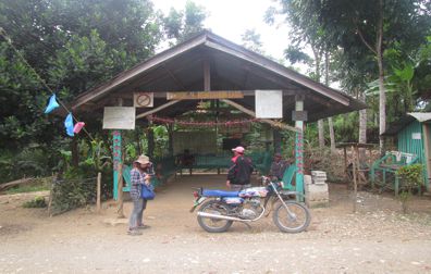
The Vulnerability and Risk Assessment is conducted by acquiring GPS readings of the important structures in the barangay such as day care centers, barangay hall, evacuation center, schools, etc. for the purpose of identifying the elements at risk in flood-induced hazards like landslide and flood. Purok centers and purok/barangay roads were also tracked. Residents were interviewed regarding the extent of flood depth in their purok. The type of house materials and means of transportation were also noted.
During the VRA activity in Esperanza, the team also distributed Information, Education and Communication (IEC) materials to all 47 barangays. The IEC materials included the 1:10,000 scale landslide and flood geohazard map, landslide/flood pamphlets and barangay demographic profile form. The geologists also explained to the barangay officials and staff the important details in the map.