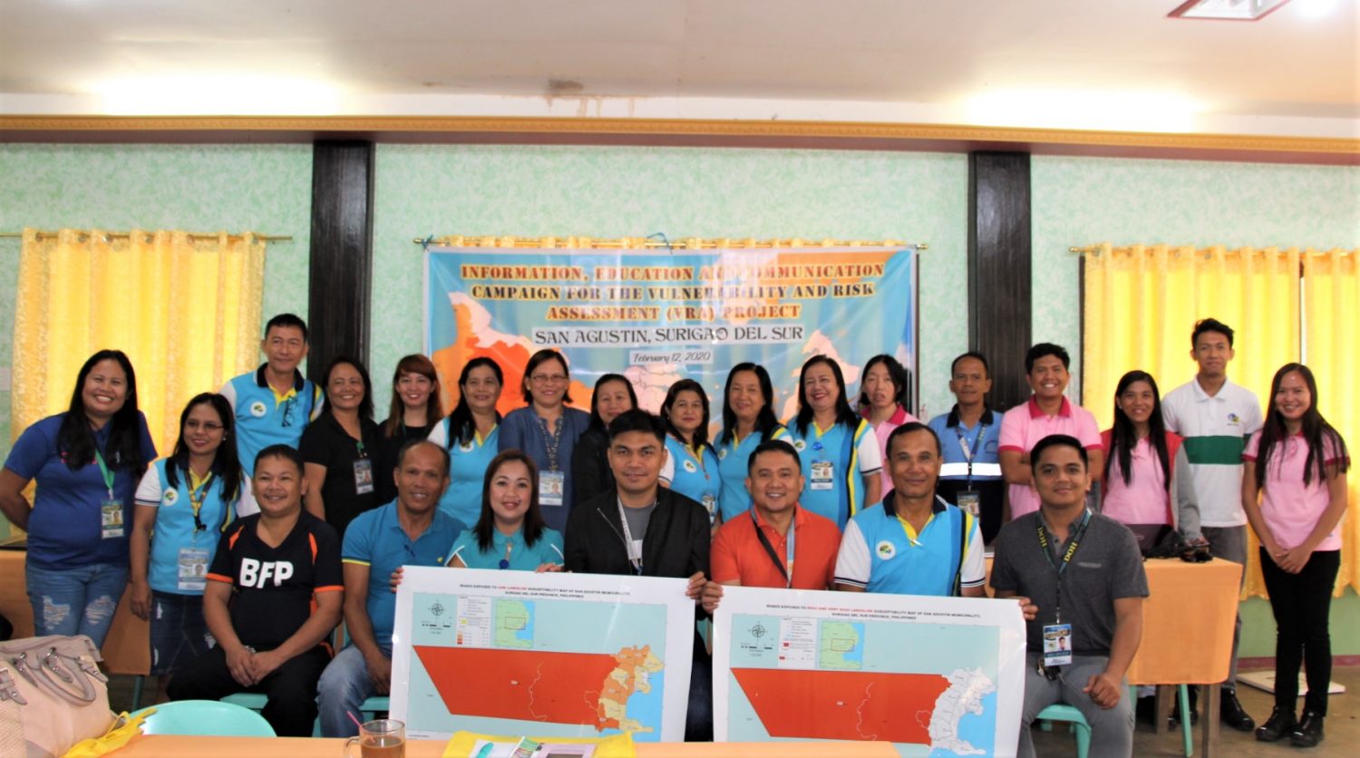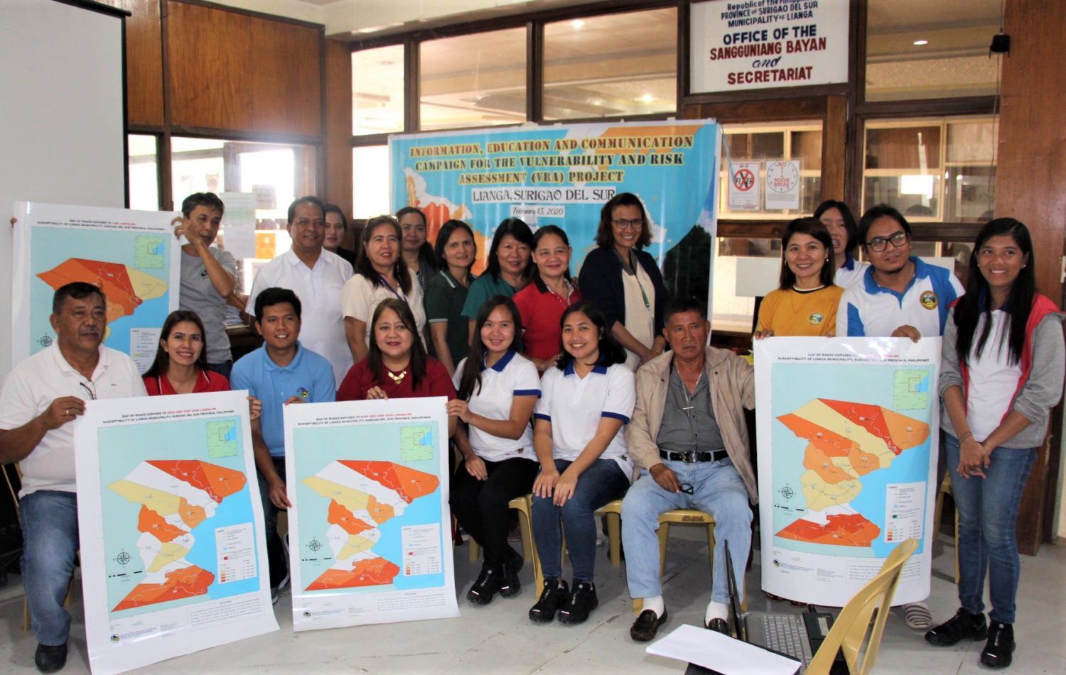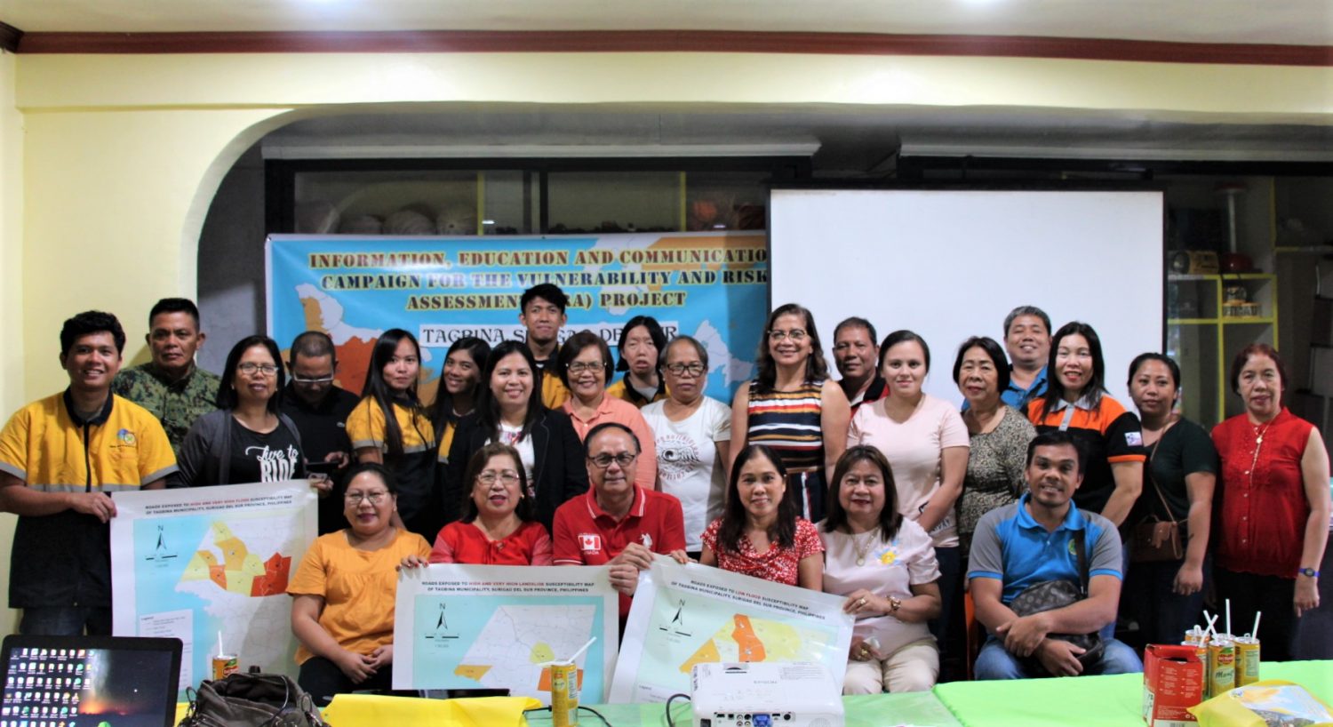
The Mines and Geosciences Bureau Regional Office No. XIII commenced its Information, Education and Communication (IEC) Campaign on the Results of Vulnerability and Risk Assessment (VRA) Project and Training-Workshop on Understanding Risk Exposure Maps on February 12-14, 2020 in the Municipalities of San Agustin, Lianga and Tagbina, Province of Surigao del Sur.
The IEC Campaign aims to intensify awareness and provide additional technical input to the Local Government Unit (LGU) regarding Risk Exposure Analysis and its significance to its comprehensive land use and development disaster risk management planning.
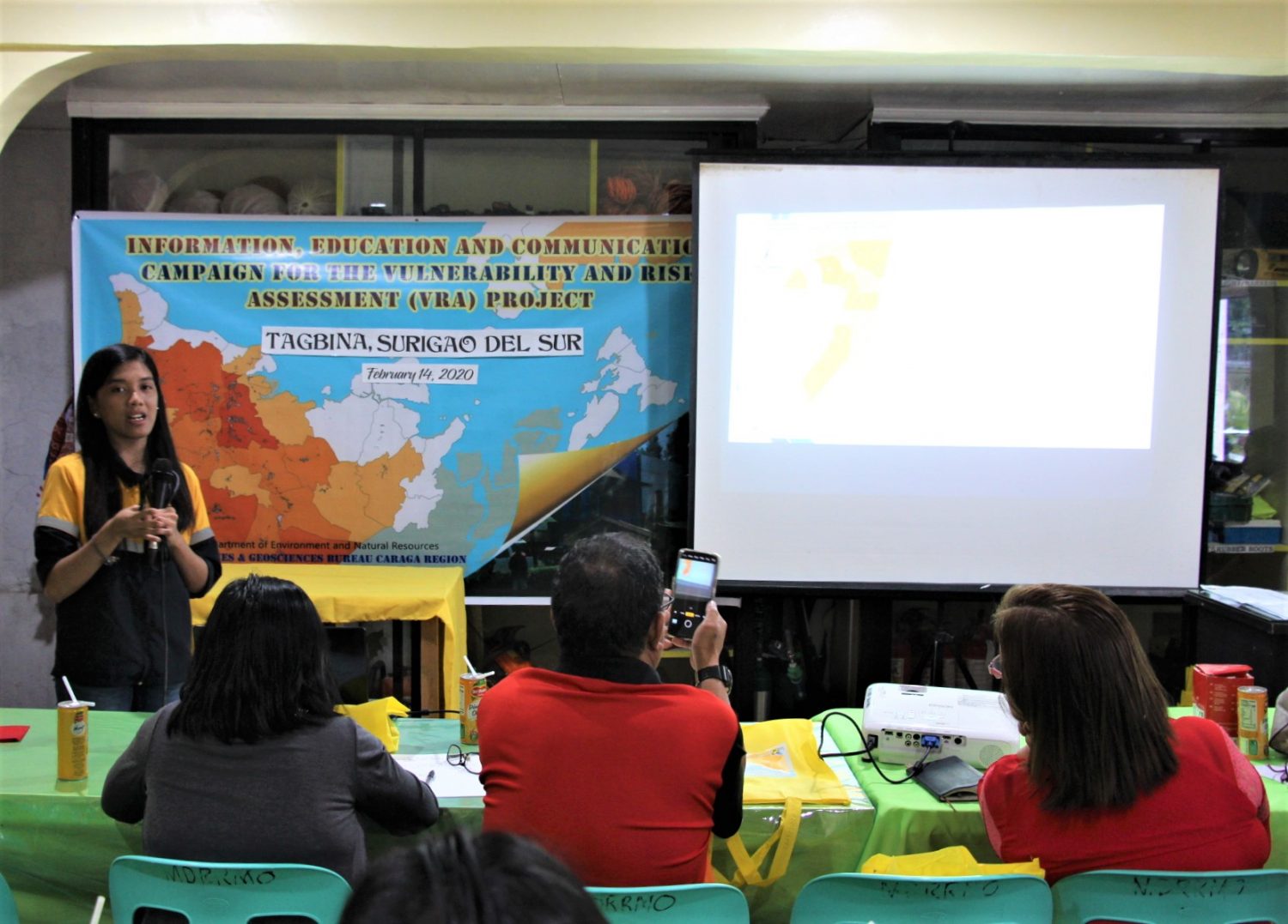
During the activity, MGB RO No. XIII geologists discussed the following topics:
• Understanding Susceptibility Maps;
• Introduction to Vulnerability and Risk Assessment;
• Production of Exposure Maps; and
• Understanding the Risk Exposure Maps.
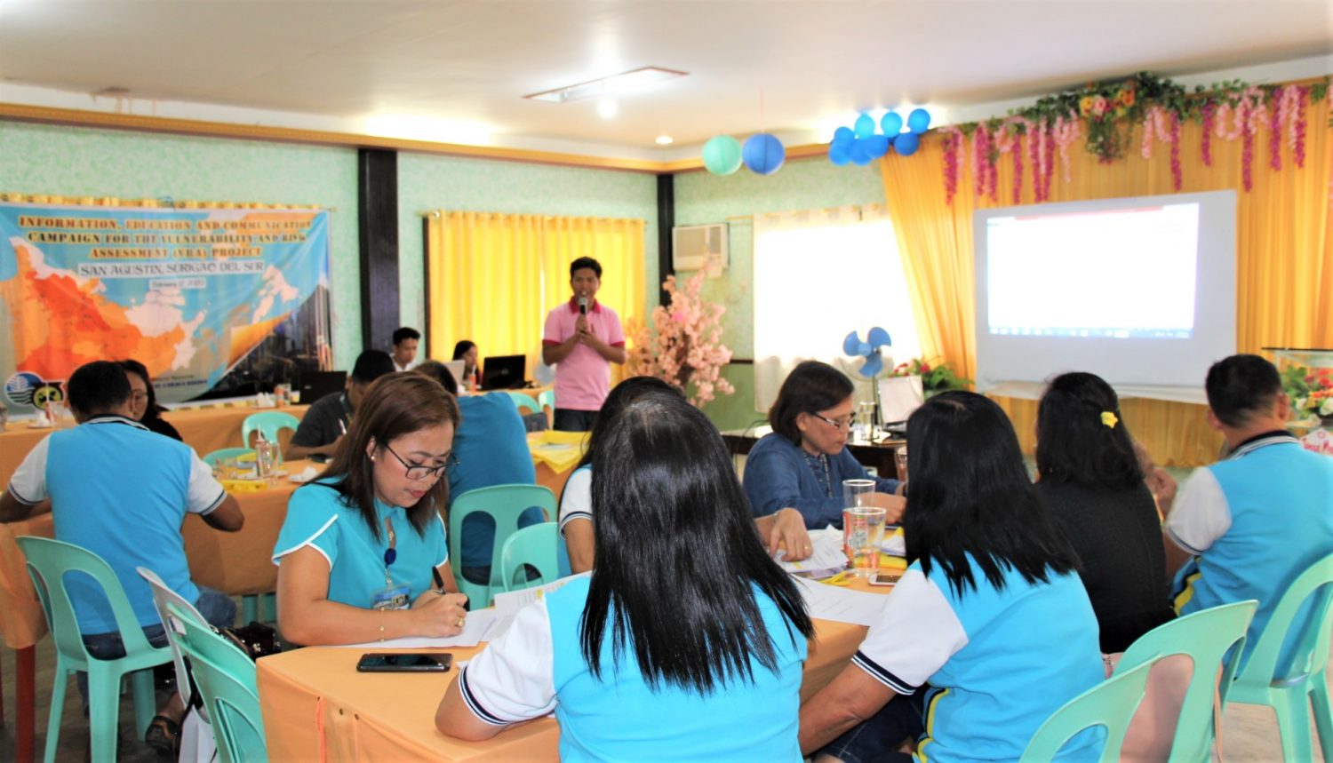
Issues and concerns raised by the participants were noted and addressed during the open forum. Guide questions for the Workshop/Round Table discussions were given to all participants who were grouped accordingly. After the group discussion, a member presented the group output.
The VRA Technical Reports and two sets of Risk Exposure Maps were turned over to the LGU’s Municipal Disaster Risk Reduction Management (MDRRM) Officer and Municipal Planning and Development (MPD) Officer during the activity. Similarly, the MGB RO No. XIII IEC team distributed IEC materials regarding landslide, flood, ground subsidence and other geologic hazards. Apart from intensifying public awareness of natural hazards, the said materials will also aid in the effective and efficient management of disasters and reduction of casualties and damages to lives and properties.
The Office acknowledged the support given by the LGUs through the MDRRM Officers of San Agustin, Lianga and Tagbina for the successful conduct of the IEC Campaign and Training-Workshop.