
The Mines and Geosciences Bureau held the Annual Geoscience Workshop via Microsoft Teams Platform on February 15-19, 2021.
The workshop was attended by all personnel from the Lands Geological Survey Division of MGB Central Office and all geologists from the 15 Regional Offices. All geologists from the technical divisions of the MGB Regional Office No. XIII including the embedded personnel attended the workshop.
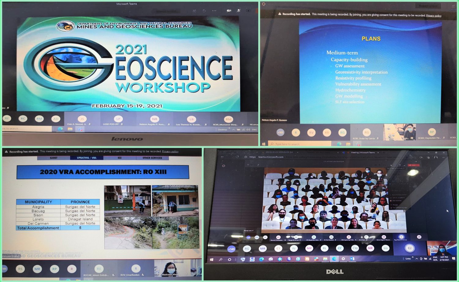
The five-day workshop started with the usual opening program. It was then followed by the plenary sessions. The plenary sessions were moslty conducted for the reporting of the 2020 accomplishments of the different projects. The first to report was Mr. Aniano D. Torres for the Groundwater Resource and Vulnerability Assessment Program and followed by the Geological Quadrangle Mapping Program reported by Dr. Maybellyn A. Zepeda and the report for the Mineral Reservation Program by Mr. Raymundo I. Villones, Jr. In the afternoon, the accomplishment reports for the Karst Subsidence Hazard Assessment, Geohazard Updating, and Vulnerability and Risk Assessment Program, Information, Education and Communication (IEC) Campaign for Geohazards and Pre-Disaster Risk Assessment were all given by Ms. Liza Socorro J. Manzano.
The plenary sessions continued in the morning of the second day which started with the report of Ms. Jocelyn C. Villanueva for the Geological Laboratory Services and followed by the Geographic Information System and Database Management by Ms. Carleen Joy T. Gatdula as well as Technical Review Panel and Linkages. In the afternoon, the following technical presentations were given – Introduction to Remote Sensing Image Interpretation for Geohazards Applications by Dr. Enrico C. Paringit; Sedimentation: Ramification to Policy Formulation and Implementation, Monitoring and Regulations by Mr. Carlo D. Dayanghirang; and Engineering Geology and its Application in the Assessment of Difficult Ground by Mr. Juanito A. Manzano, Jr.
On the third and fourth days until the morning of the fifth day, the breakout/parallel sessions for each of the major programs such as the National Geohazard Assessment and Mapping Program, the National Geologic Quadrangle Mapping Project, the National Groundwater Resource and Vulnerability Assessment Project and the National Mineral Reservation Program ensued. Each of the session included workshop, knowledge sharing, present and future methodologies, standardization, protocols and discussions.
After the parallel sessions, another plenary session was conducted in the afternoon of the fifth day in which the Synthesis of the Geoscience Workshop including the outputs and agreements were presented. The workshop ended with a photo session of all the participants.