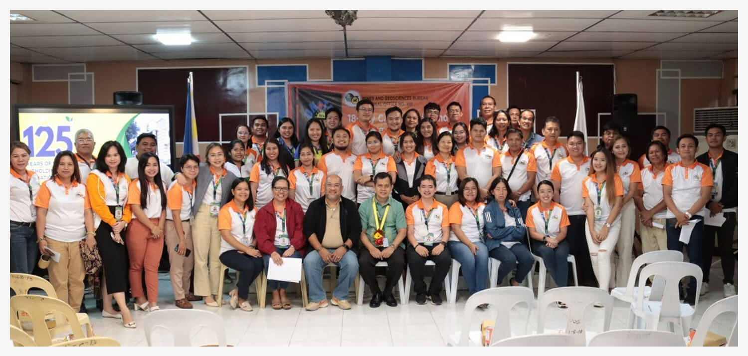
In celebration of the 125th Founding Anniversary of the Mines and Geosciences Bureau, the Mines and Geosciences Bureau Regional Office No. XIII, in cooperation with the Mines and Geosciences Bureau Employees Association Region XIII Chapter, conducted a series of talks on November 30, 2023 at the MGB Regional Office No. XIII Training Center in Surigao City. In keeping with the theme of this year’s MGB Founding Anniversary which is 125 Years of Shaping Sustainable Futures: Upholding Prudent Management of Nation’s Mineral Resources, the activity aimed to remind MGB Regional Office No. XIII employees of their duty to preserve the public’s trust and confidence in government by demonstrating the highest standards of professional competence and seeking the advancement of the public good at all times while carrying out their regulatory duty as stewards of the country’s mineral resources. The activity featured the following talks: Work-Life Balance: Spirituality in the WorkplaceMr. Guilbert continue reading : MGB ROXIII celebrates 125th Founding Anniversary of the Mines and Geosciences Bureau